Cycling on the Kettle Valley Railway

2010 - Chute Lake to Naramata


The Kettle Valley Railway or KVR is an abandoned railway bed that winds through south central British Columbia between Midway and Hope.  The section between Chute lake and Naramata is a switchback with a 2% grade.  For about $25 you can hire a company to take your bikes up the pavement and gravel road from Naramata to Chute Lake.


Chute Lake is about 20 miles (32kms) north of Penticton via Naramata.  The Chute Lake Resort is open year round but there is no charge to start your trip there.  The historic resort sits at an altitude of  4000 feet (1219 metres.)  In 2003 the Okanagan Mountain Park fire narrowly missed the buildings and scorched much of the surrounding forest.


This corridor is an easy grade in most sections.  Along the way you can see the remnants of the original construction such as large rocks piled along the side.  The rail bed is suitable for thinner road tires but mountain bike tires are ideal.


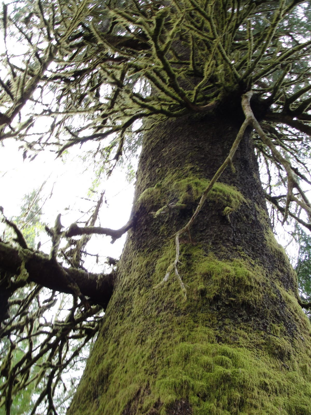
This portion of the KVR Trail travels through Ponderosa Pine forests as well as hills covered with cactus and sage brush.


Rock Oven Regional Park is a collection of stone and rock ovens built between 1911 and 1915.   The 13  Rock Ovens on the Naramata section of the KVR represent the largest concentration of ovens in North America.  The were built on railway constructions sites mostly by Italian stone masons.  The Rock Ovens were used to bake bread and feed the Scandanavian, Eastern European and Italian workers.


Preservation is an important focus of the KVR Trail.  This former water station at Adra is a good example.  A hand-carved and painted sign adorns the overhang.


The Adra Tunnel bypass connects the upper and lower sections of the KVR.  The tunnel is condemned do to instability.  The spiral tunnel is about 1600 feet (489 metres) long.  It was the longest tunnel on the KVR but now both tunnels are blocked to prevent access.


The KVR Trail is very well maintained. You'll find information signs and rest stops along the way.


This fallen tree turned into a walkway is one of many side trips. This trail takes you to another of the many Rock Ovens.


The view from the KVR Trail is stunning.  This is the view looking south toward Penticton just before you enter Little Tunnel.


Our tour guide Mary takes a break outside Little Tunnel along Lake Okanagan.  In the distance you can see Summerland, Penticton and Skaha Lake farther to the south.


Construction of the Kettle Valley Railway started in 1910.  It was completed in 1916.  The new rail line made it possible for daily passenger and freight service from Vancouver to Nelson.  The opening of the Hope Princeton Highway (Highway #3) in 1949 changed things and over the next few years it made it no longer feasible to keep running the KVR.  The last train on the Midway to Penticton section of the KVR ran in 1973 and in 1991 the tracks were pulled.  The Province of B.C. took over the right of way in 1990.

Pacific Marine Circle Route

2010 - Southern Vancouver Island

The Pacific Marine Circle Route is the perfect weekend drive.


Starting off in Victoria, head north along the Trans Canada Highway (Hwy 1) through Goldstream Park, over the Malahat and into Duncan.  Continue along for about 15-20 minutes until you hit the Lake Cowichan (Hwy 18) turnoff.  Lake Cowichan is located at the eastern end of Cowichan Lake (Vancouver Island’s second largest lake.)  It’s a small resource town with an economy based on tourism and logging. It's a popular spot for fishing, camping and riding ATVs. We stopped for lunch at Dermod and Dudley’s Irish Pub. It’s on the main street and has great food, good service and front row views of the lake. After our lunch we checked out the museum and took pictures on the old steam engine and caboose (yes - this is entertaining for adults as well.)  Before leaving the town - make sure your gas tank is full.  


Back in the car, we're on the road again - heading out-of-town. The road winds along the left side of Cowichan lake. After about 10 minutes, a sign will direct you to turn left onto the road to Port Renfrew.  It's narrow in places and you may see logging trucks during the week - but don't fret - there's plenty of space for everyone. The province recently paved the route - as an alternate route in and out of the coastal town. The distance between Cowichan Lake and Port Renfrew is 47km. The road winds its way through several clear-cuts, second generation forests and a rare patch of old growth. There are several places to pull over and grab that perfect picture - especially next to some of the streams and rivers.


Closer towards Port Renfrew - you absolutely must stop for a giant. It’s a massive Sitka Spruce that’s managed to survive decades of logging. This single tree was spared for our enjoyment - and just standing next to it - leaves you in awe. Watch for the signs on the left side of the road - you can't miss it.
 
Pink Fawn Lily

Along the route, there are several active logging roads that branch off. Some are in better condition than others. Unless you have a backcountry road map - I wouldn't recommend venturing too far down them. We explored one of the most popular side roads leading to the Juan De Fuca Wilderness Camp (about a 15 minute drive ). Interesting yes - necessary no. 

AHHHH - Port Renfrew. The town is home to about 200 residents. It's probably best known as the 'starting point' for the West Coast Trail and the 'finishing point' for the Juan de Fuca Marine Trail. There are a few restaurants, a small grocery store, several rugged fishing resorts and a few Bed & Breakfasts.


About five minutes from Port Renfrew is Botanical Beach (Juan de Fuca) Provincial Park. Provided you have $3 dollars in change - it's a great place to stretch your legs and head down to the shoreline. One hour and 2 or 3km's later - you'll have experienced some great views, a walk along the beach and you'll get a real feel for the ruggedness of the west coast.


After leaving Port Refrew (with a fresh coffee in hand,) the road to Jordan River and Sooke winds along the coast.  Watch for signs that direct you to provincial campgrounds and entry points for the Juan de Fuca Marine Trail. 

The Pacific Marine Circle Route is roughly 250km long depending on how much you veer off. It offers something that's off-the-beaten path and provides travelers with a sense of what the South Island is all about. It's particularly great for putting the geography of the area in perspective. Bring a map with you - not only for obvious reasons - but it's fun to follow along - and make notes of places you'll visit next time! The route provides spectacular views of Juan de Fuca, Haro and Georgia Straits.  We would  recommend doing this trip when the forecast is good and you've got time to stop and smell the sea air.
 
All in all - our adventure took 8 hours.  Enjoy the journey! 

Autumn Run In Victoria

2010 - Southern Vancouver Island

Autumn in Victoria marks the annual marathon, half marathon and 8km races.


The sun came out and the rain held off.  2010 marks the 31st year for this popular event which attracted some 14,000 participants.  Great way to see the city from street level.


Summerland Princeton Highway

2010 - Southern British Columbia

We recently took a drive along the Summerland-Princeton Road.  This backcountry route is a former First Nations trail.  The road is partially paved and covers 100 kilometres.


There is lots to see along the way including the Trans Canada Trail which crosses the road at several points.


Bankier; The Three Lakes Area is also worth the trip.  Homesteads and campsites surround Chain, Link and Osprey Lakes and offer a glimpse into the regions past.


 As far as backcountry drives go, this one is one of the best we've been on.